
Sentinel Asia is an initiative led by "Asia-Pacific Regional Space Agency Forum" to support disaster management in the Asia-Pacific region with space assets.
Joined December 2016
- Tweets650
- Following20
- Followers330
- Likes17
Sentinel Asia retweeted

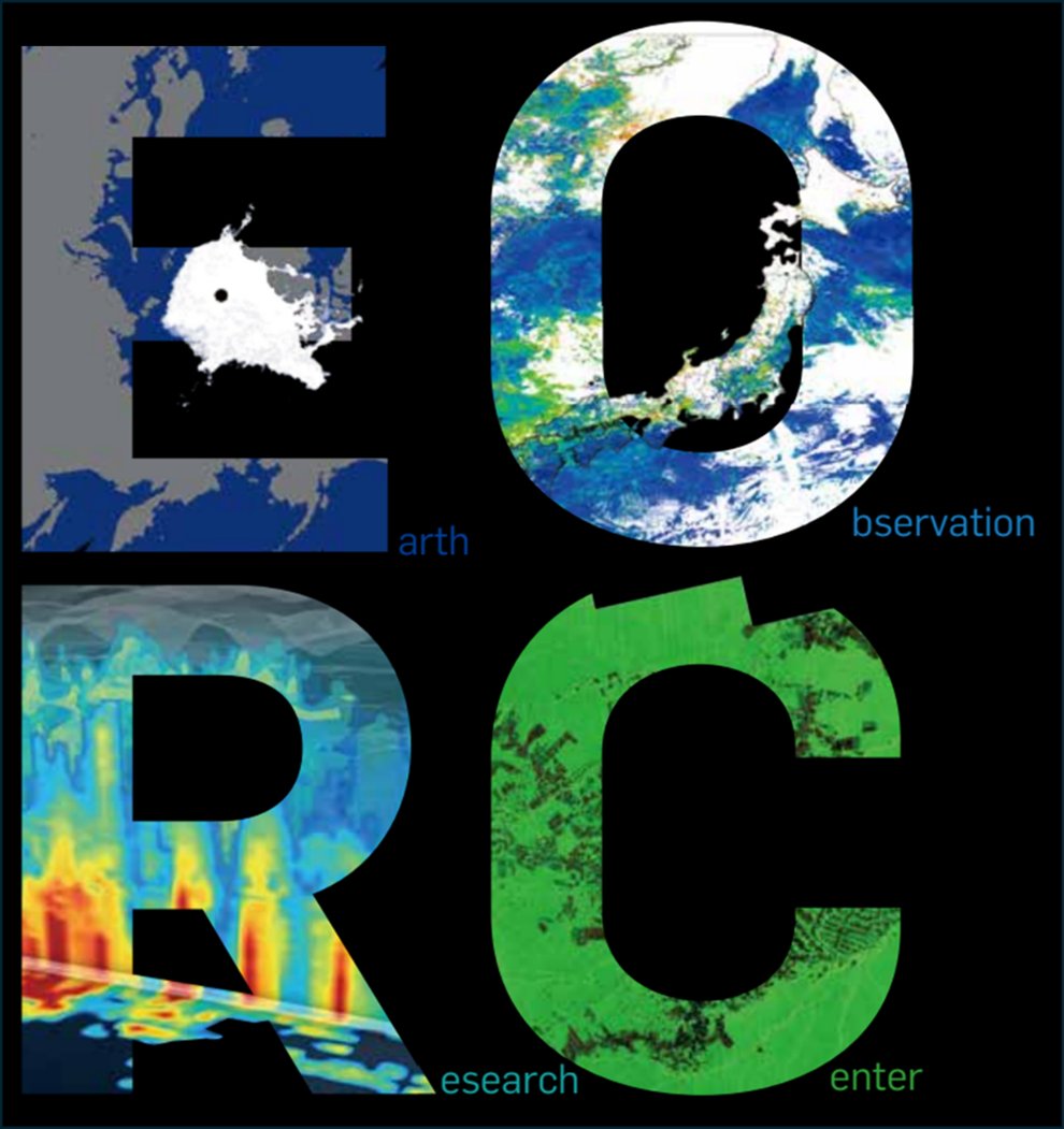
JAXA地球観測研究センター(EORC)は、今年度30周年を迎えました。
地球観測衛星による長年のデータ蓄積は、地球の理解を深める上での貴重な財産です。この記念の年に、衛星データ利用の軌跡を振り返る企画を実施しますのでご期待ください🛰️
satnavi.jaxa.jp/ja/news/2025…
#JAXA #JAXA地球観測データ利用30年
Sentinel Asia retweeted

𝗚𝗜𝗖'𝘀 𝗝𝗮𝗻𝘂𝗮𝗿𝘆 𝟮𝟬𝟮𝟱 𝗡𝗲𝘄𝘀𝗹𝗲𝘁𝘁𝗲𝗿🎉
What you'll find out:
🎤 Highlighted Events
🗣️ Knowledge Sharing
🤝 Technical Meetings
🗺️ Geospatial Products
🔗 geoinfo.ait.ac.th/news/newsl…

Sentinel Asia retweeted
GIC's Director and the Co-Chair of the Steering Committee, @ManzulHazarika was invited for the 24th Steering Committee Meeting of @Sentinel_Asia held at the @IWMI_ ,Sri Lanka, on December 12-13, 2024.
Full article 👉geoinfo.ait.ac.th/24-sc-meet…

Sentinel Asia retweeted

The Charter has been activated to provide satellite data of the volcanic eruption of Mount Ruang in Indonesia: bit.ly/3JozUCY
Sentinel Asia retweeted

#APRSAF29 への参加登録はお済ですか?
参加登録〆切は8月20日です。
皆さまとジャカルタでお会いできるのを楽しみにしております!
aprsaf-29.evenium-site.com/

Sentinel Asia retweeted
Are you ready for joining #APRSAF29?
Registration deadline is 20 August.
We are looking forward to seeing you in Jakarta!
aprsaf-29.evenium-site.com/

Sentinel Asia retweeted
The deadline of the 2023 APRSAF Awards nomination is now extended to 7 July. Possibility of winning awards at APRSAF, which has been held for 30 years, please do not miss this opportunity! #APRSAFAward #APRSAF29
aprsaf.org/award/nomination.…

Sentinel Asia retweeted

Asia-Pacific is the world’s most disaster-prone region, and cascading and compounding risks make disasters like floods, earthquakes and droughts more destructive.
Here are 6️⃣ ways to better manage cascading and compounding risks 👇 @UNESCAP
ow.ly/9REq50Mw4BF
Sentinel Asia retweeted

Over 2,000 research publications — for free. 👈🏾
IWMI produces a series of Research Reports and Working Papers 📚 with access to research, studies, data, project reports, case studies and more.
🖥️ Visit our website to download: iwmi.org/publications #ResearchForDevelopment
Sentinel Asia retweeted
🌐 FREE ONLINE COURSE
@UNSSC and @UNDRR have developed a leadership module focusing on:
🔸 implementing disaster risk reduction
🔸 climate change adaptation
🔸 integrated planning
This two-hour course is free of charge and open to everyone ➡️ ow.ly/Q2i950OLxaQ

ALT Synergizing Disaster Risk Reduction and Climate Change Adaptation
Sentinel Asia retweeted
Happy to deliver the third edition of “Voice of the APRSAF Awards Winners”, voice of Dr. M. Rokhis Khomarudin, 2022 APRSAF Space Achievement Award! #APRSAFAward #APRSAF29
aprsaf.org/award/voice.php

Sentinel Asia retweeted

World Tsunami Awareness Day is November 5. Interesting to note that #earthquakes and related #tsunamis have killed more people than floods and storms over last 20 years. #ItsAllAboutGovernance land use, building codes, early warning and public awareness on #TsunamiDay

Sentinel Asia retweeted
The Charter has been activated to provide satellite data of #TyphoonHagibis' impact on #Japan: bit.ly/35zMPgn
We have our first maps of the disaster already, which use #Sentinel1 to provide an early assessment of potentially flooded areas.


Sentinel Asia retweeted

At 1:00 PM today, the eye of Typhoon "#OmponghPH " was located based on all available data at 85 km West of Laoag City, Ilocos Norte (18.3 °N, 119.8 °E)

Sentinel Asia retweeted
The Charter has been activated to provide satellite imagery of the #Philippines 🇵🇭 following #TyphoonMangkhut: bit.ly/2DasILk
The storm also caused a #landslide on Luzon island which particularly affected the town of Itogon.
Sentinel Asia retweeted
Side events are always one of the most popular features of the Global Platform for Disaster Risk Reduction. September 28 is the deadline for applications. So please share and don't delay! #GP2019Geneva #TheResilienceDividend #SendaiFramework
bit.ly/2NmWlOd

Sentinel Asia retweeted
These maps provide an update on the #floods in #Kerala State, #India as of 18 August: bit.ly/2Mi0Edp
#RADARSAT2 and #TerraSARX were used to provide the flood assessments.


Sentinel Asia retweeted
The Charter has been activated to provide satellite imagery of the #flood in Kerala State, #India 🇮🇳: bit.ly/2Mi0Edp
Sentinel Asia retweeted

Situation Update 07 - M 6.4 & 7.0 Lombok Earthquake, Indonesia - Building back better will require efforts across multiple sectors. Recovery, Rehabilitation and Education on hazards are very much needed to prevent future tragedies. mailchi.mp/ahacentre/situati…


Sentinel Asia retweeted
We now have a series of maps assessing the impact of the 6.9 magnitude #LombokEarthquake: bit.ly/2vQb5tn
The maps use optical satellite images to detect damaged areas and one map used ALOS-2 to analyse ground movement after the earthquake.


