

Southeast Minnesota Weather From Austin to Red Wing and Rochester In Between. (Do not depend on this for emergency information.)
SE Minnesota
Joined July 2020
- Tweets7.4K
- Following1.1K
- Followers1.4K
- Likes88.6K




Pinned Tweet
Know where to tune for Emergency Alerts?
Here's a map of area Weather Radio and commercial stations that relay weather/civil alerts.
If you have any questions, feel more than free to ask : )
Always have your Weather Alert radios on!
#MNwx #WIwx #IAwx #Minneapolis #RochMN


SE Minnesota Weather retweeted

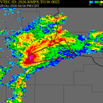
A tornado watch has been issued for parts of Minnesota and Wisconsin until 9 PM CDT

ALT This graphic displays Tornado Watch watch number 698 plotted on a map. The watch is in effect until 9:00 PM CDT. The watch includes parts of Minnesota and Wisconsin. The threats associated with this watch are a couple tornadoes possible, scattered hail up to ping pong size possible and isolated gusts up to 70 mph possible. There are 4,364,726 people in the watch along with 1690 schools and 72 hospitals.


SW Minnesota getting some very on brand Emergency Alerts for this time of year.
#MNwx

Thunderstorms possible Wednesday evening across the region, not out of the question they could become strong.
Level 1 risk in-place across the region.
#MNwx #WIwx #IAwx #Minneapolis #Mankato #RochMN #Rochester


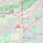
***Shelter in Place Warning***
The Burnsville Police Department is in the area of McAndrews Road and County Road 5, please avoid the area. We are asking residents to lock their doors and stay inside for an active incident that we are investigating.
#MNwx

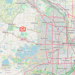
***Civil Danger Warning***
Per West Hennepin PD, shelter in place advisory for .5 mile radius of the 4400-blk of Eagle Ridge Ct due to heavy police activity
#MNwx

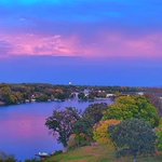
The skies tonight are genuine art, and perfect weather to pair with it.
#MNwx #WIwx #IAwx #RochMN #Minneapolis #Rochester #Austin


***SHELTER IN PLACE WARNING***
LAW ENFORCEMENT ACTION, SHELTER IN PLACE IN THE AREA OF JONES STREET, FAIRVIEW STREET NORTH SECTION SPRING VALLEY SHELTER IN PLACE, AWAIT FURTHER INSTRUCTIONS. LAW ENFORCEMENT ACTION
#MNwx

The dense fog continues this morning with a Dense Fog Advisory until 10 AM,
#MNwx #WIwx #IAwx #Minneapolis #StPaul


SE Minnesota Weather retweeted

ARX issues Flash Flood Warning [flash flood: radar indicated] for Fillmore, Mower [MN] till Sep 19, 1:00 AM CDT mesonet.agron.iastate.edu/vt…


Picture perfect skies across SE Minnesota this morning!
Mid 60s around the region, 72 in La Crosse and cooler west of I-35 at 10:30 AM.
Mostly sunny skies dominate today with a nice NW breeze, highs in the lower 70s.
#MNwx #WIwx #IAwx #RochMN #Rochester #Minneapolis


At 222 PM CDT, a severe thunderstorm with Quarter size hail was located over Golden Valley, or near Minneapolis, moving east at 10 mph.
This includes Minneapolis,
Seek shelter inside a well-built structure until storms pass.
#MNwx #WIwx #Minneapolis

***Shelter in Place Warning***
Sent by Ramsey County
Severe Weather Threat at the State Fair
Thunderstorms in area with lightning in area. Seek shelter inside a building or car.
#MNwx #MNStateFair
