

Join the AcreValue Network℠ America's Premier Land Network Create a Free AcreValue Profile℠ today to Join the AcreValue Community℠ Offered by @AgAnalytics.
United States
Joined December 2013
- Tweets971
- Following2.2K
- Followers1.1K
- Likes25





Pinned Tweet
Big news! You can now search for properties and land ownership on @acrevalue based on distance to the nearest transmission line, substation, or solar farm. See the new feature in action on YouTube: youtu.be/fC1rvzeaP_s

Most of the state's cropland is held by individual and family owners. With more than 6.7 million acres and over 75% of the total share, their footprint defines the landscape and stands apart from every other ownership category.
LLCs account for a much smaller share of cropland acres, while trusts represent an even smaller portion. The remaining acres fall into other ownership types, creating a mix that highlights just how concentrated ownership is among individuals and families.
AcreValue helps you compare ownership categories, study how acres are distributed, and understand the patterns shaping land ownership across the state.


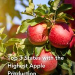
From fresh snacks to cider and pie, apples are part of traditions across the country.
This National Apple Day, we're highlighting the states that lead the way in apple production and help keep orchards thriving year after year.
Here are the top 3 states for apple production: 📍Washington, New York, Michigan

Understanding land ownership also means understanding the rights associated with the crops growing on it.
Emblements are annual crops that may remain the personal property of a tenant farmer, giving them the opportunity to harvest what they planted under certain circumstances.

South Dakota's cropland story starts with Spink and Brown counties. Together they account for nearly 910,000 acres, setting a pace that the rest of the state works to match.
From Sully to Minnehaha and Hutchinson, the rankings reveal where some of the state's most productive agricultural ground is concentrated.
AcreValue helps you visualize these trends and analyze cropland at the county level.


Every field planted, every crop harvested, and every acre managed starts with the dedication of a farmer.
This National Farmers Day, we recognize the hard work, resilience, and commitment that help sustain agriculture and rural communities year after year.
Thank you to the farmers who make it all possible.

Access can be just as important as acreage. 👀
Ingress and egress refer to the legal right to enter and leave a property, and these rights often play a key role in the value and functionality of rural land.

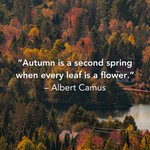
Autumn has a way of turning ordinary landscapes into something extraordinary.
As another season unfolds, we're appreciating the colors, the scenery, and the beauty found across the land. 🍂

Corn leads by a wide margin, topping 4.1 million acres, while soybeans follow with another 3.1 million acres.
Beyond those two giants, acreage drops significantly across spring wheat, winter wheat, and sunflower. The rankings highlight where production is concentrated and which crops shape the agricultural landscape.
AcreValue helps you explore the data behind the acres and understand land use at a deeper level.


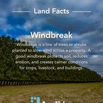
Windbreaks do quiet work on a property. A simple line of trees can slow wind, protect soil, and create calmer conditions for crops, livestock, and buildings. 🌳
Have you ever seen a windbreak?

The arrival of fall transforms landscapes in ways that are both subtle and unforgettable. ✨
Here's to colorful views, cooler days, and the beauty that comes with the changing season.

Individuals and families hold most of Oregon’s cropland, and the scale of their acres sets the tone for how the map reads across the state.
LLCs follow with a sizable footprint of their own, then trusts round out the mix with a much smaller share. Each group plays a different role, but the balance between them shapes how cropland concentrates region by region.
AcreValue helps you compare these categories, study how acres stack up, and understand how ownership influences land across the state.


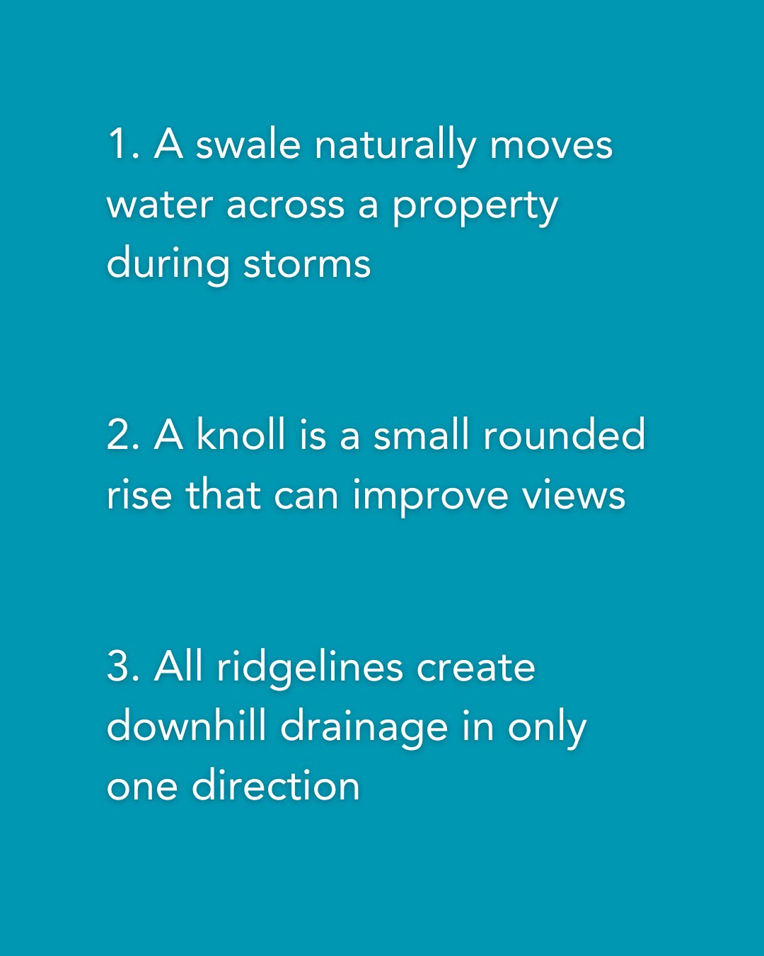
Field features shape how land works more than most people realize. Two of these statements are true, and one misses the mark. See if you can spot the lie in today’s Field Features edition. 👀

Riparian buffers are the strips of vegetation that sit along streams and rivers and quietly protect the water.
Have you heard of riparian buffers?

Did you know today is National Guacamole Day? 🥑
Avocados thrive in warm regions with long growing seasons, but production is far more concentrated than most people realize.
One state alone produces almost 90% of all U.S. avocados!
Here are the top 3 states for avocado production: 📍California, Florida, Hawaii

There’s a moment each year when the air changes and the season slows. This line captures that gentle turn perfectly. ✨

Did you know today is National Peanut Day? 🥜
Peanuts are grown mainly in the South, where the climate is warmer and growing seasons are longer. But where exactly in the South do your peanuts come from?
The top state accounts for over 50% of all U.S. peanut production!
Here are the top 3 states for peanut production: 📍Georgia, Alabama, Florida

Patriot Day is a moment to reflect on how strength shows up in everyday actions. In service. In compassion. In the commitment to keep moving forward together. 🇺🇸

Winter wheat sets the tone for Oregon’s cropland. It holds the largest footprint by a wide margin, and the shift into the next tier becomes clear the moment you see the acres.
Corn follows with a solid presence, then the pattern moves into alfalfa and spring wheat, each shaping a different slice of the state’s agricultural mix. The spread shows how growers balance rotation, climate, and demand across regions.
AcreValue helps you study these patterns, compare counties, and understand how crop choices shape land across the state.


