

Investor & World Traveler
United States
Joined July 2021
- Tweets17.4K
- Following553
- Followers1.6K
- Likes40.6K
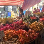




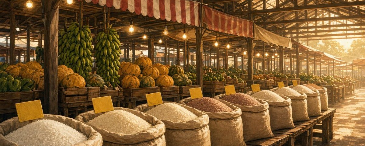
Dragon fruit, mangoes, lanzones and a pile of watermelon, all stacked under striped tarps at a Cebu market. I walked in for one banana and left with a lot more.

1
3
53
A quiet Cebu road, one tricycle, and a tangle of wires overhead that tells its own story. I work remotely, so I notice these things. Where's the oddest place you've ever had a solid signal?

3
78
Fried chicken in a glass case, puso hanging behind it, and a smile from the vendor. Cebu street food keeps winning me over one stall at a time.

4
99
Found one on a roadside in Cebu. Dragon fruit, mangoes and bananas up front, a curtain of little sachets hanging overhead. Back home we'd call it a corner store, minus the fruit.


Cebu lunch: spicy ramen, pan-fried gyoza, rice and a little watermelon on the side. Hard to beat a tray like this.

1
73
Wading out in shallow water like this on Siargao, it's not hard to picture. Bangkas floating over what might have been dry ground once.


The Philippines had about 60% more land 20,000 years ago. 🇵🇭
During the last ice age the sea was roughly 120 m lower than today. The shallow seas between many Philippine islands became dry land, and islands that are separate today joined into larger landmasses.
We measured it on depth data (left = ice age, right = today; tan = seabed above -120 m that we count, grey = exposed seabed we do not count). Today the Philippines has about 300,000 km² of land. Add the exposed seabed connected to its islands and the total is about 485,000 km², roughly 1.6 times as much. The 42 islands larger than 100 km² today join into 16 landmasses. The Visayas (Negros, Panay, Cebu, Masbate) merged into one landmass of about 55,000 km², and the Palawan block grew to about 77,000 km². Using -100 m or -134 m gives 1.58 to 1.64 times.
Biologists have long described four "Pleistocene aggregate island complexes": Greater Luzon, Greater Mindanao, Greater Negros + Panay and Greater Palawan. Our depth data broadly agree with the last three. The strait between Luzon's Bicol peninsula and Samar is only about 105 m deep in two depth datasets (GMRT and GEBCO 2020, which share much of their source data, so this is not an independent check), so at about -120 m our map joins Luzon with Samar, Leyte and Mindanao into one landmass of about 319,000 km². That link is marginal: if the sea was only about 100 m lower, they stay separate. Palawan stays separate from Borneo (the channel is about 144 m deep in our data).
Limits of this post:
- This is a simplified reconstruction, not a photo of the ice-age land. The tan area is today's seabed above -120 m, drawn with a flat colour. The dotted line is the present-day coastline.
- It does not model glacial isostatic adjustment, tectonics, or sediment change, and it uses one global sea level.
- Depth data in narrow straits is uncertain by tens of metres, which matters for marginal links like Luzon-Samar.
- Counts and areas are our own measurements on a 500 m equal-area grid. The island count only includes islands larger than 100 km² (the Philippines has 7,641 islands in total); small islets are not resolved on this grid.
- We count exposed seabed that is connected to Philippine islands and leave out the Borneo platform.
Sources: Seabed: GMRT (Ryan et al. 2009) and GEBCO 2020. Land: NASA Blue Marble. Sea level: Wikipedia, Last Glacial Maximum (about 120-125 m); Su et al. 2014, Journal of Biogeography (sea about 120 m lower; four island complexes). Wikipedia, Geography of the Philippines (7,641 û

7
211
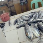
Tuna laid out at a market on Siargao, with the bangkas sitting in the water just past the window.

3
159


Bangkas parked off the beach in Siargao, with one palm doing all the shade work. Hard to stop looking at this.

3
9
219


Friday round up. First week on Siargao.
The postcard strip is loud. The quieter streets are where the week actually happened.

1
4
165
Last week's miss: AirNode spots as three-word codes, not streets. The map got clearer.
This week's miss: I still haven't walked the second cluster. Codes on a screen aren't the same as boots on the coast.
1
3
Big networks chase the money. Quiet roads keep waiting. Easy to feel that once you're off the tourist strip.


Big networks build where the money is. This school in rural Kenya wasn't on their list.
So we put AirNodes on its roof. The students get online, and the school earns from hosting them.
Part 1 of 3. #WorldMobile
10
178