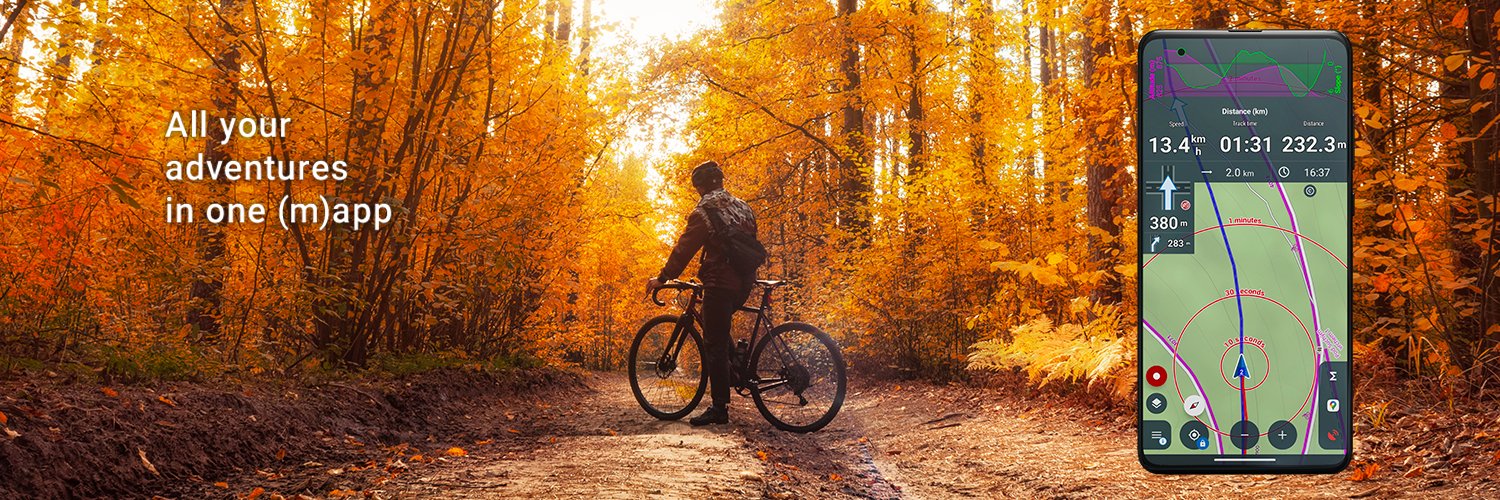

A multi-functional GPS map app for hikers, bikers, geocachers and other fans of the great outdoors. With it, you'll never get lost again.
Prague, CZ, Europe
Joined December 2011
- Tweets1.5K
- Following83
- Followers1.4K
- Likes2.3K
The ETA in the router part is just approximate. If you need a more exact ETA, go to the route menu > estimated travel time. More info: docs.locusmap.app/doku.php/m…


📈 Big update to the web route planner: the elevation chart now shows surfaces, way types and your waypoints — so you know what's underfoot before you set off.
Plan on desktop, sync to your phone.
web.locusmap.app
youtube.com/watch?v=Jaj9cfWa…
#LocusMap


Want to share your trip as an Instagram-ready photo? 📸 Or show off your latest bike training? Just pick "Image & Stats" in the route sharing menu and you're good to go! 🚴 #LocusMap


Hey roadies! 🚴 Tried the Road Cycling Profile in the Route Planner? It estimates your ride time based on your cycling power — enter your watts and hit the road knowing exactly how long you'll be out. #LocusMap #RoadCycling


Take your outdoor adventures to the next level with Locus Map Live Tracking! Share your journey in real-time and let your loved ones join in on the fun by seeing exactly where you are. Explore more, worry less, and create unforgettable memories together.
🚵 MTB routing, your way. One slider sets the difficulty — smooth cruise or technical challenge. The second one sets your speed on a flat surface for an accurate ETA. Plan your ride in Locus Map. 🏔️


[CZ] Kvalitní mapy českého výrobce SHOCart patří ke klasice našeho portfolia. Kromě skvěle čitelné topo vrstvy se spoustou turistických informací mapy obsahují značené, ale také neznačené doporučené, fyzicky projeté cyklotrasy s klasifikací povrchů. Stahujte z Locus Store!


🗺️ Aktualizacja map Compass w Locus Store!
🔄 Beskid Niski, Bieszczady, Bieszczadzkie pogranicze polsko-słowackie, Góry Stołowe, Góry Wałbrzyskie i Kamienne, Kraków (plan miasta), Pieniny, Puszcza Białowieska
Pobierz aktualizację w Locus Map → Locus Store 🥾
#LocusMap


